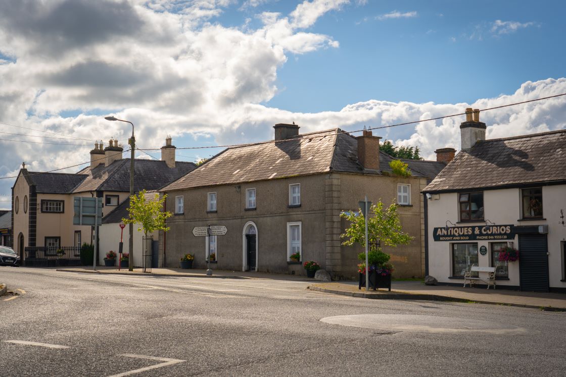
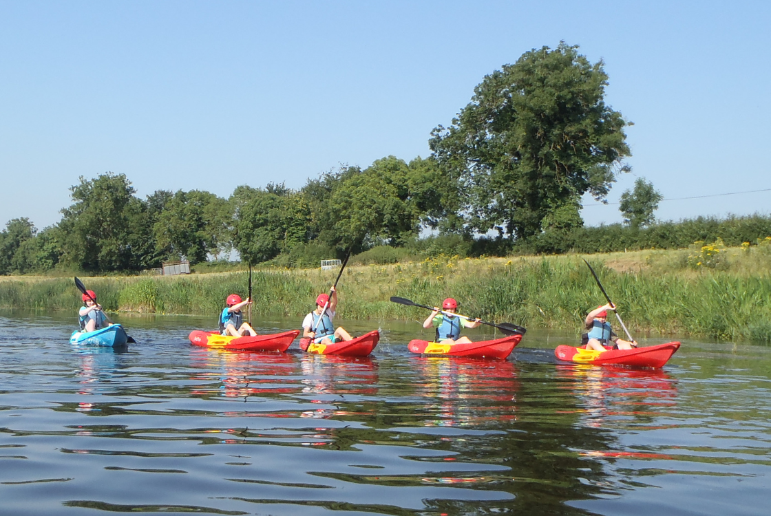
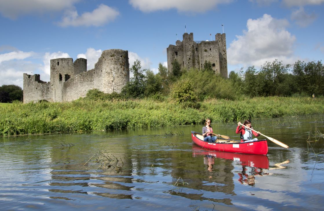
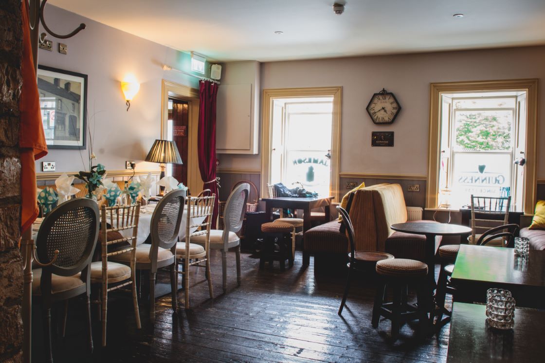
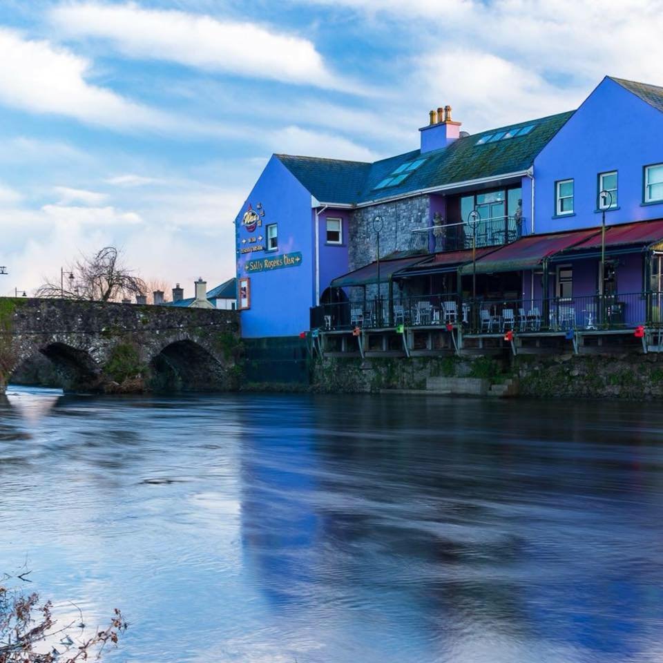
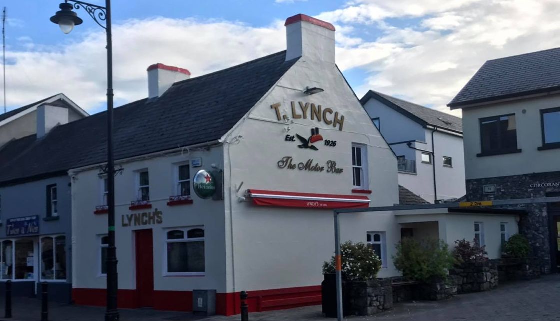
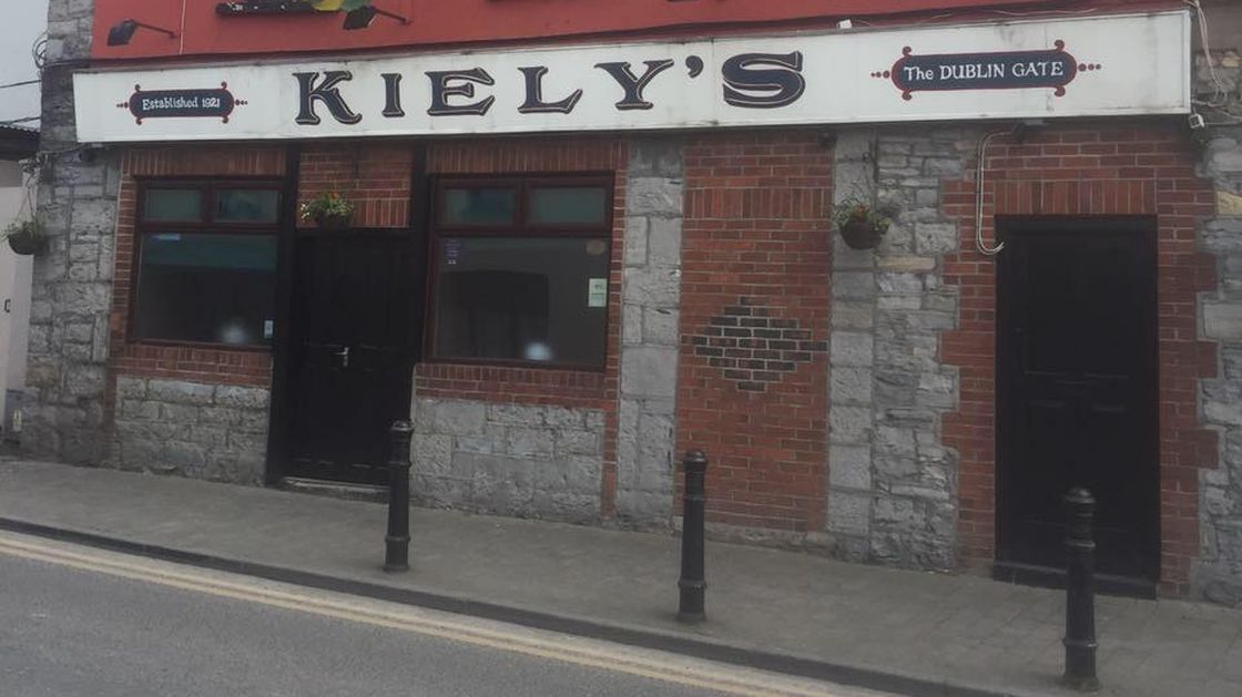
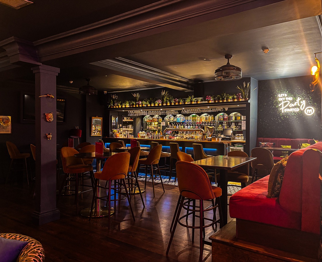
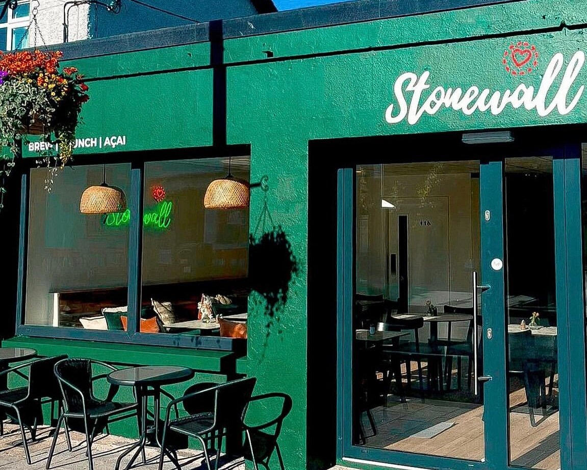
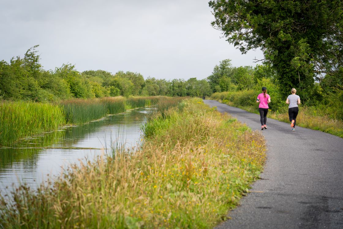
The village of Longwood, known in Irish as Maigh Dearmhaí, is a quaint rural village in Southwest Co Meath. An ideal location for exploration of the Royal Canal Greenway, the village links directly to the towpath via a newly developed lane way. With shops, takeaways and bars to source refreshments, Longwood is a lovely stopping point as you journey along the Greenway or in which to stock up on provisions in advance of your walk or cycle. If you prefer to enjoy activities on the water, Inchamore Bridge outside Longwood village is an access point for the Boyne Blueway. The stretch between Longwood and Trim is recommended for experienced paddlers. For equipment hire or instruction Boyne Valley Activities in nearby Trim will be happy to help.
Longwood Harbour
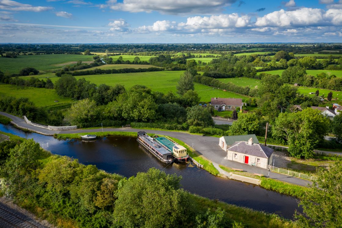
Approximately 2km outside of Longwood village sits Longwood Harbour (or Boyne Dock as it is also known) which is one of the many access points to the Royal Canal Greenway.
You will notice the refurbished lough keeper’s cottage which is now home to Ribbontail paddlers canoe club and you might just be lucky enough to see them take to the water as you journey past.
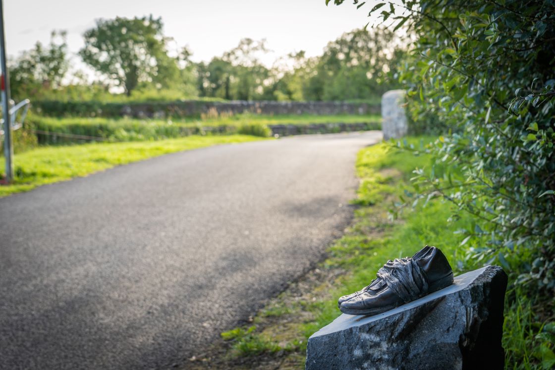
Also you should spot a bronze shoe sculpture marking the National Famine Way. It serves as a reminder of the poignant story of 1,490 poor and hungry, who in 1847 were forced to walk 165km from Strokestown Park, Co Roscommon to Custom House Quay in Dublin to board ships to leave this country. You can read more about this commemorative trail at https://nationalfamineway.ie/.
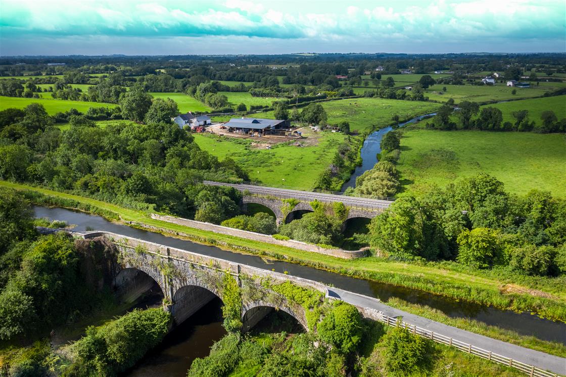
Heading west about 200 metres you will meet the architectural masterpieces of the Boyne Aqueduct and Viaduct which were constructed approximately 200 years ago, the former to carry the canal over the River Boyne and the latter to carry the rail line across the river.
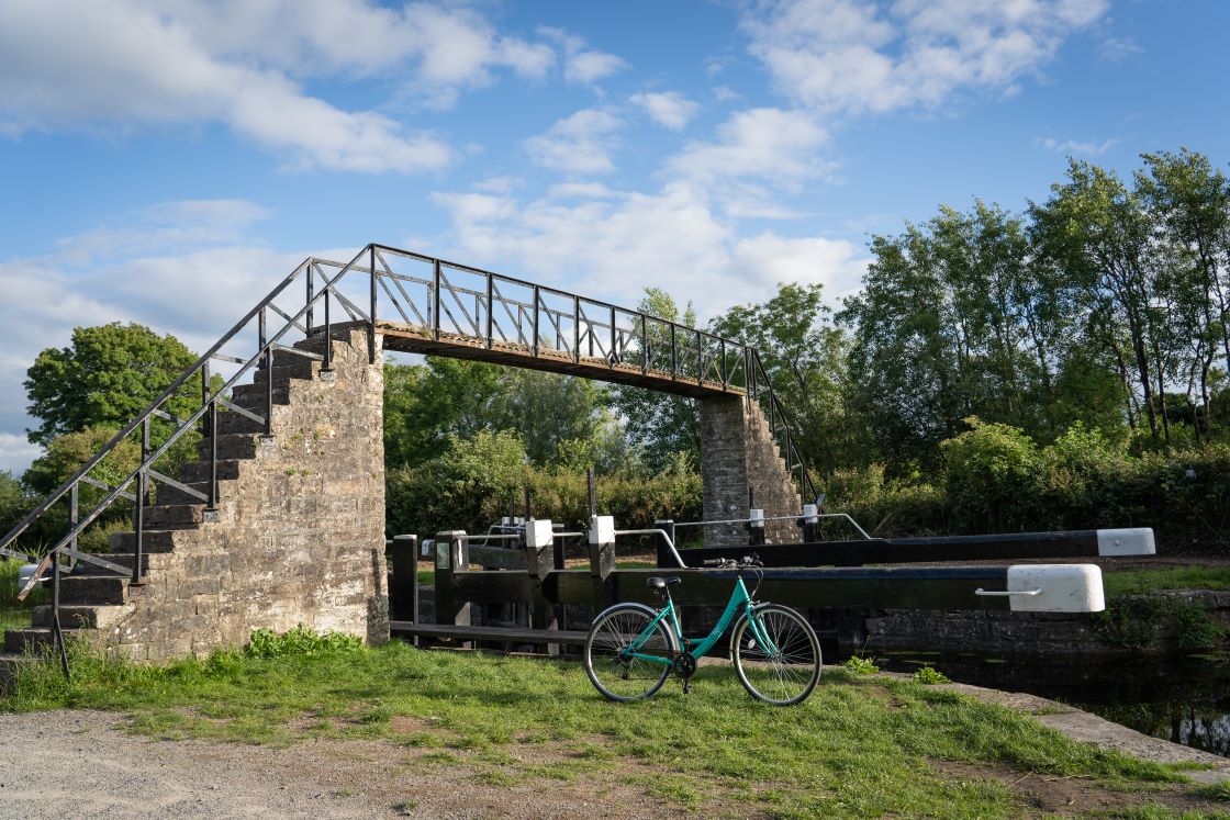
If you choose to journey east from Longwood Harbour, you will meet the eye-catching Ribbontail Bridge which was supposedly built for mass-goers travelling by foot to Longwood and is possibly named after the Ribbon Society. This was a secret society active in rural Ireland in the early 19th century that agitated on behalf of poor tenant farmers and labourers. Opposite the bridge you will see the access lane to Longwood Village.
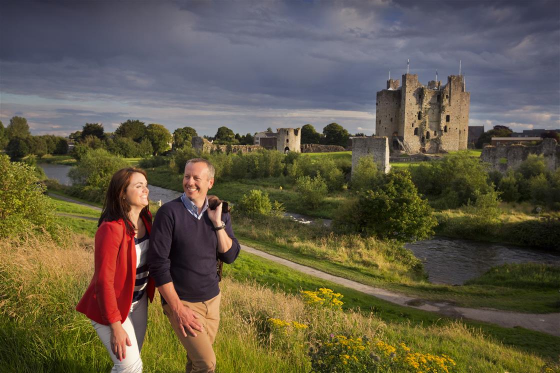
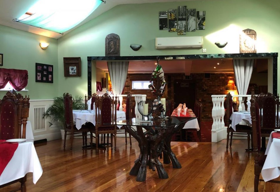
Take a look at our Royal Canal Greenway itinerary if you are considering a holiday in this area. Also, Longwood is in close proximity to the heritage town of Trim. For more information on accommodation in this area click here.
Latitude
53.45633706282341
Longitude
-6.925130025290321