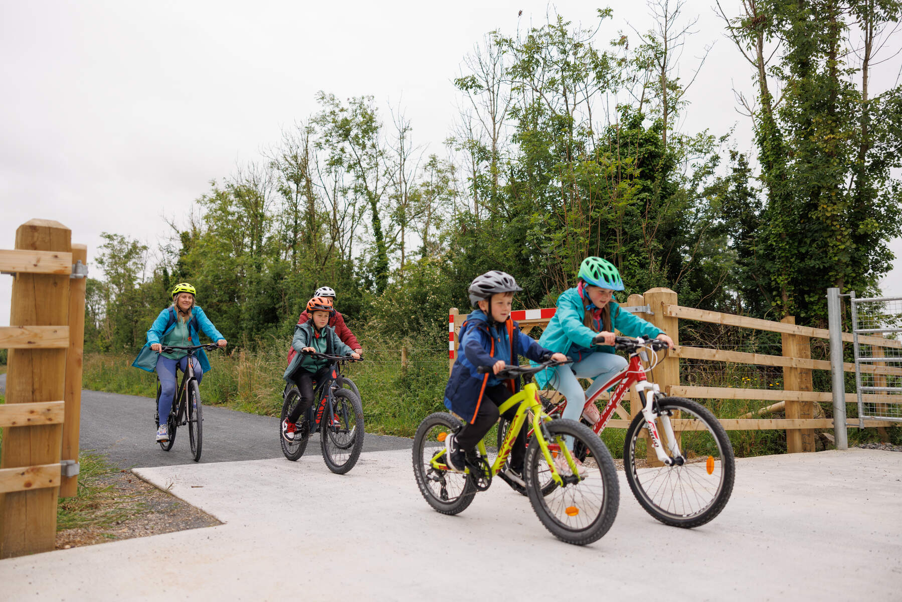
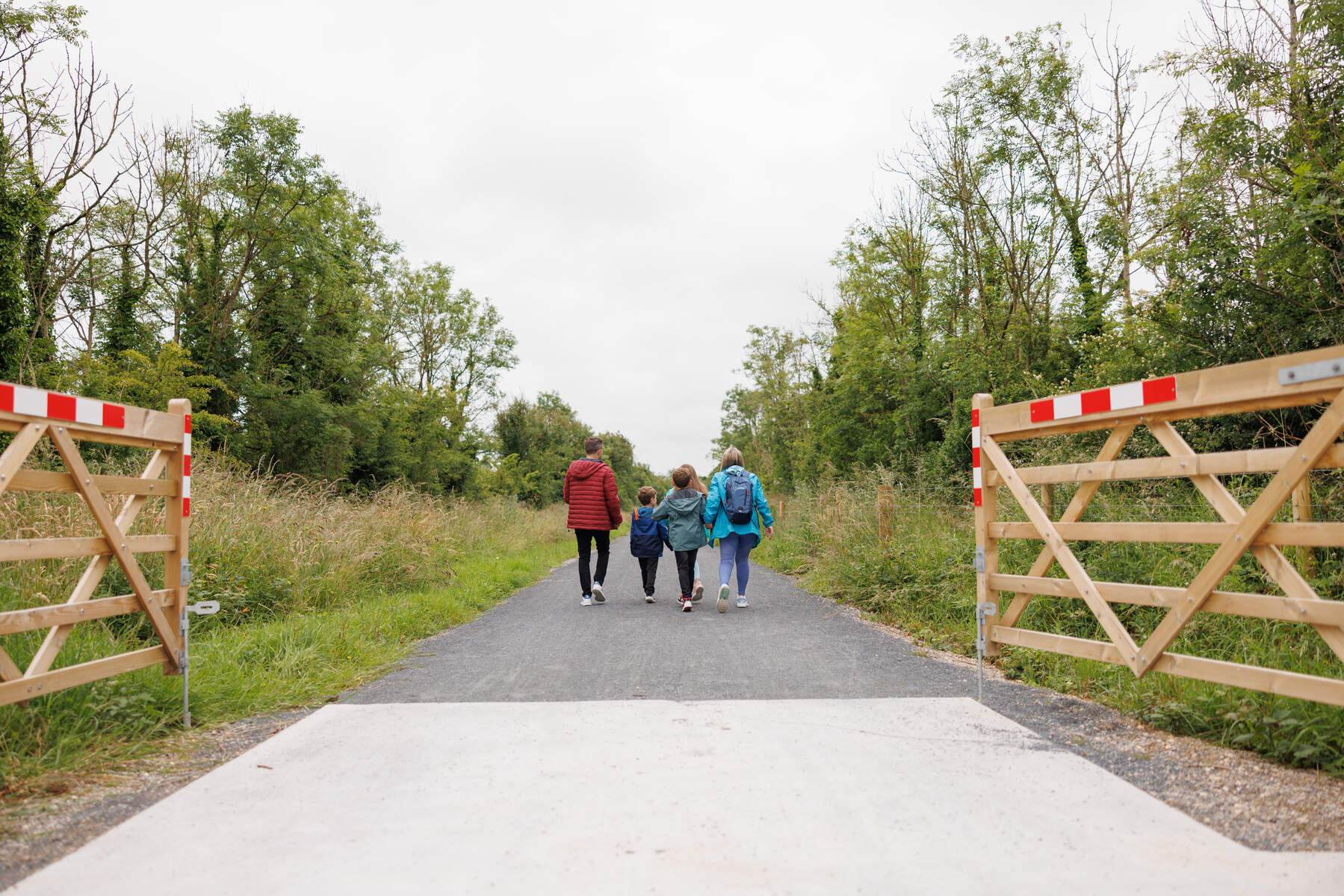
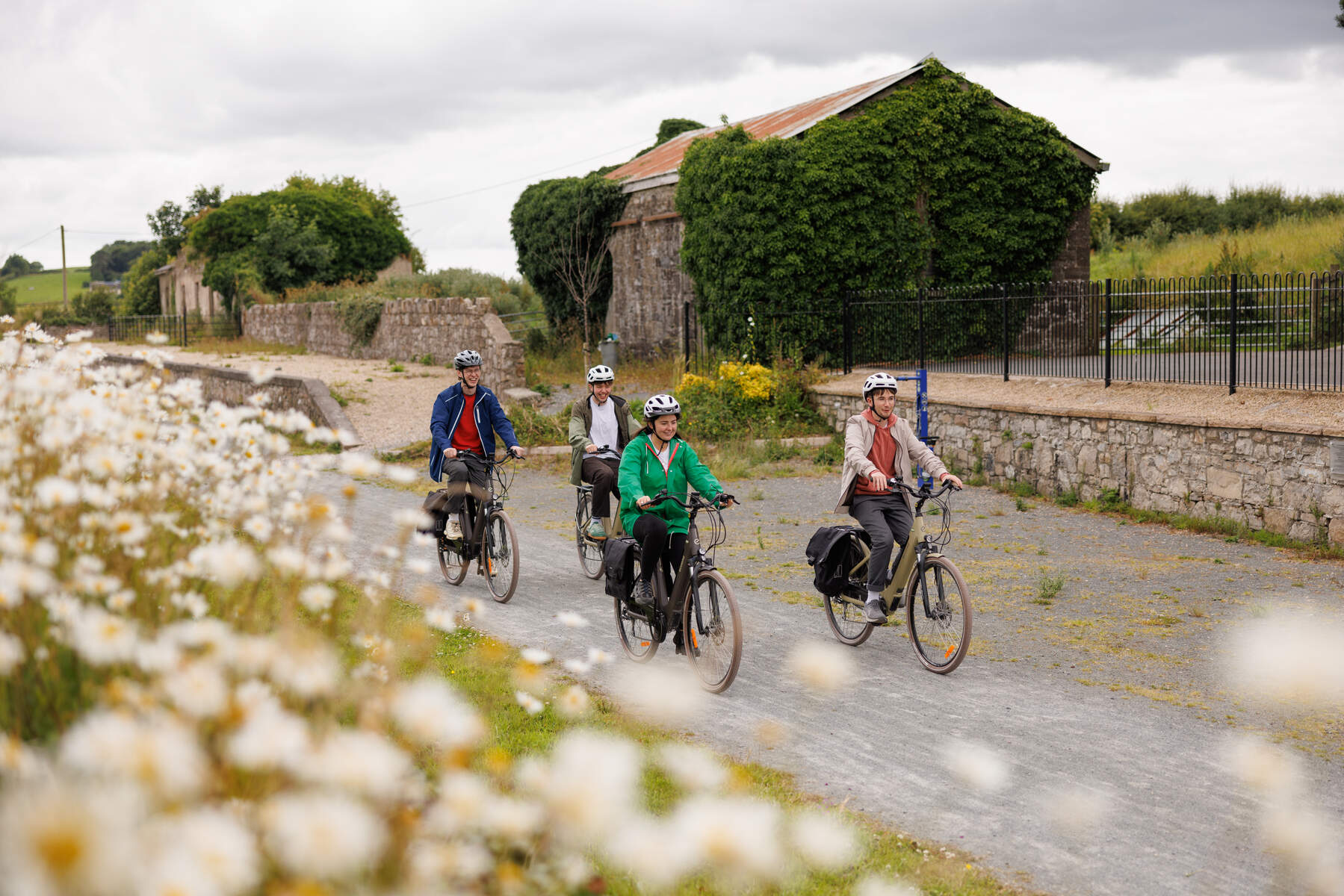
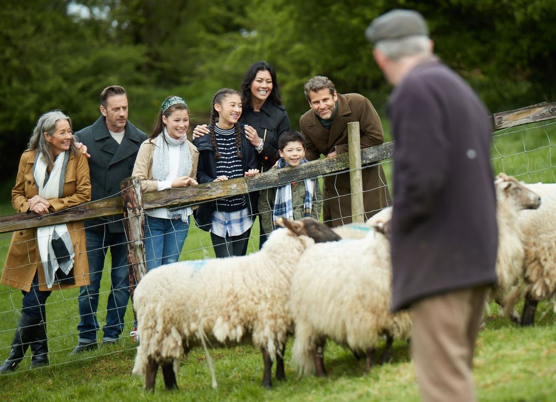
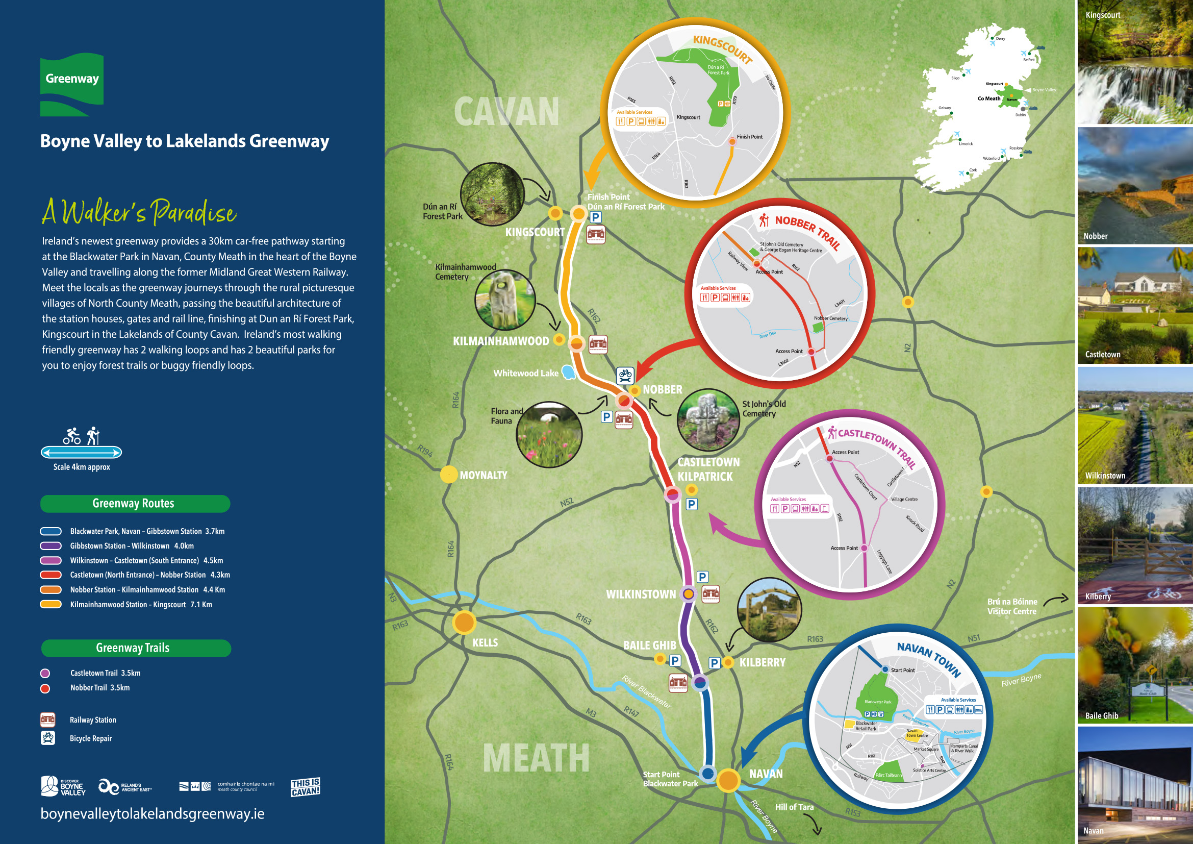
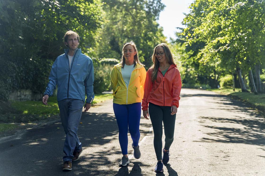
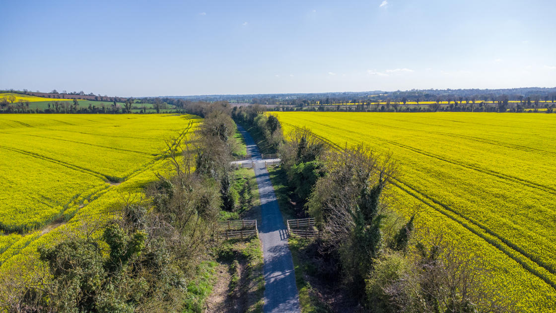
The Boyne Valley to Lakelands Greenway is a 30km walkers' and cyclists' paradise along the route of the old railway line from Navan in Co. Meath to Kingscourt in Co. Cavan.
The Boyne Valley to Lakelands Greenway begins in Navan and passes through or close to the villages of Kilberry, Wilkinstown, Castletown Kilpatrick, Nobber and Kilmainhamwood before ending in Kingscourt.
To experience our top 5 stops along the Greenway, please click here!
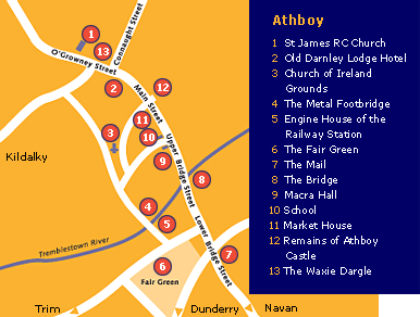
Greenway Sections
This 30km Greenway includes the following sections outlined on the map:
- Blackwater Park, Navan to Gibbstown Station 3.7km
- Gibbstown Station - Wilkinstown 4.0km
- Wilkinstown - Castletown (South Entrance) 4.5km
- Castletown (North Entrance) to Nobber Station 4.3km
- Nobber Station - Kilmainhamwood Station 4.4km
- Kilmainhamwood Station - Kingscourt 7.1km
Greenway Trails to enjoy
- Castletown Trail 3.5km
- Nobber Trail 3.5km
All images courtesy of Fáilte Ireland.
Download the map in English
Íoslódáil an léarscáil i nGaeilge
Navan is the largest town in County Meath, situated at the confluence of the rivers Boyne and Blackwater. It is located close to the Hill of Tara, one of the ancient royal sites of Ireland, as well as the important ecclesiastical site of Ardbraccan. Another abbey was founded in Navan itself. Navan developed as an Anglo-Norman market town in the late 12th century, when Hugh de Lacy granted the land to one of his knights, Jocelyn de Angulo. The barony and castle of Athlumney, across the river, was granted to Amauri de Feipo.
Navan grew in importance in the modern period, as a place of trade and industry. Numerous mills produced grains and wood, which in turn gave rise to Navan’s famous furniture and carpet businesses. Navan is now a vibrant business town with a wide variety of shops, cafes and restaurants. For tourist information see the Solstice Arts Centre.
Kilberry
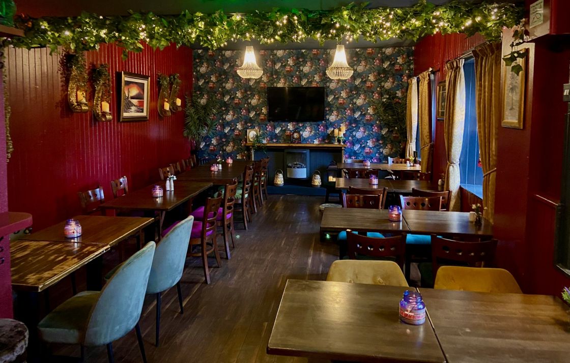
Kilberry is the site of a medieval church (now ruined) and graveyard with a chest tomb, ornate grave slab and medieval font. The headstones in the oldest part of the graveyard have been photographed and recorded and are available on www.historicgraves.com. A large ringfort, located just east of the village at Rathcoon, is also visible from the graveyard. Much of the land was owned in past times by the Everards of Randalstown House who were famous for their local tobacco plantations. The Kilberry Restaurant is just a short distance from the town of Navan and the Boyne Valley to Lakelands Greenway and is open 7 days a week serving breakfast, lunch & dinner. Stop in here for a treat before or after your trip on the Greenway, you won't be disappointed!
Wilkinstown
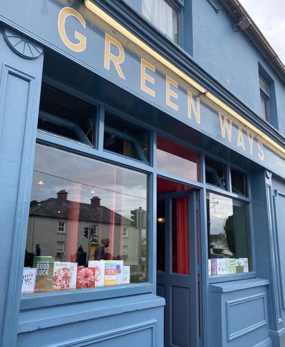
Wilkinstown is located at the intersection of the main Navan to Kingscourt Road, and the old Midland and Great Western railway line. In July 1798 the defeated United Irishmen from Wexford and Wicklow marched north through Leinster until they were finally caught and scattered by crown forces at Knightstown Bog, just north of Wilkinstown. Local folklore tells of how the locals helped shelter the fleeing pikemen, and some even settled in the area. There is a playground at Wilkinstown Community Centre which is just off the Greenway and keep an eye out for their monthly market which takes place on the first Saturday of every month.
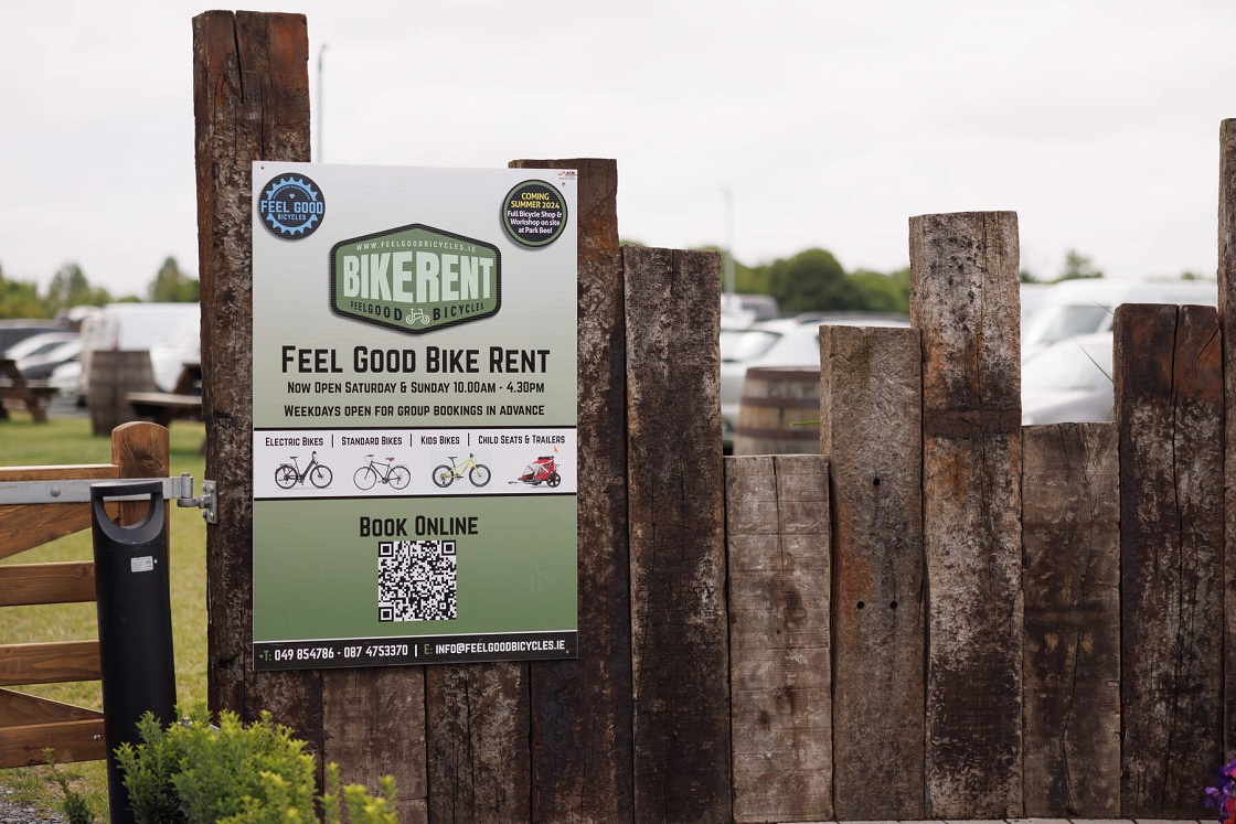
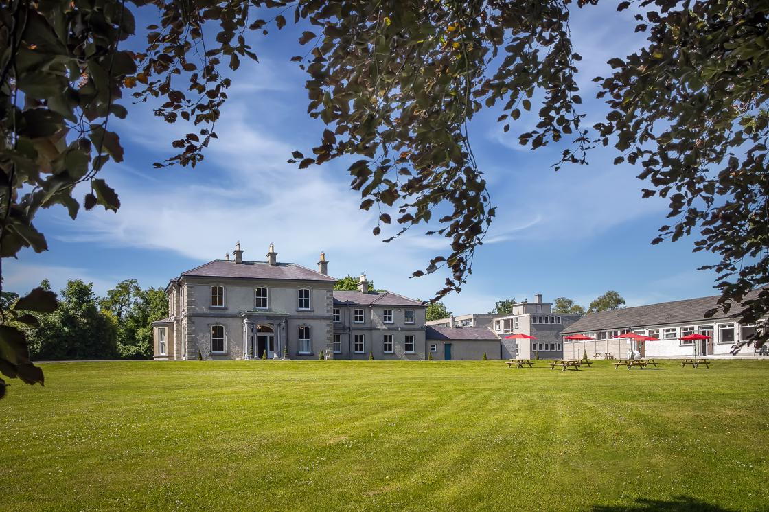
If you are looking for 3.5 acres of outdoor space with plentiful safe off road parking, accessible toilets, baby changing facilities, covered Gazebo with ample seating, picnic areas, bike hire, bike service area, bike parking, a coffee trailer and best of all, easy direct access straight onto the Greenway - Park Beo is the place for you!
With the team from Feel Good Bikes on hand to ensure that you are sorted with a range of regular and e-bikes by providing bike hire and a bike service area, this is the perfect base to explore the newly opened Boyne Valley to Lakelands Greenway!
Castletown Kilpatrick
Castletown Kilpatrick is a small village with medieval origins. The original medieval parish church of St. Patrick, located north of the village, was rebuilt in 1823 as a Church of Ireland ‘First Fruits’ church. A medieval cross-slab and architectural fragments may still be seen in the graveyard, although the church is ruined once more. A new Catholic church was built in the village in the mid-19th-century, completed under the directions of Fr. Patrick Gibney. Castletown Walking Trail connects to the Greenway and is a 1.4km looped walk. There is also a pitch and putt course located beside the school in the village- some nice diversion from your Greenway adventure!
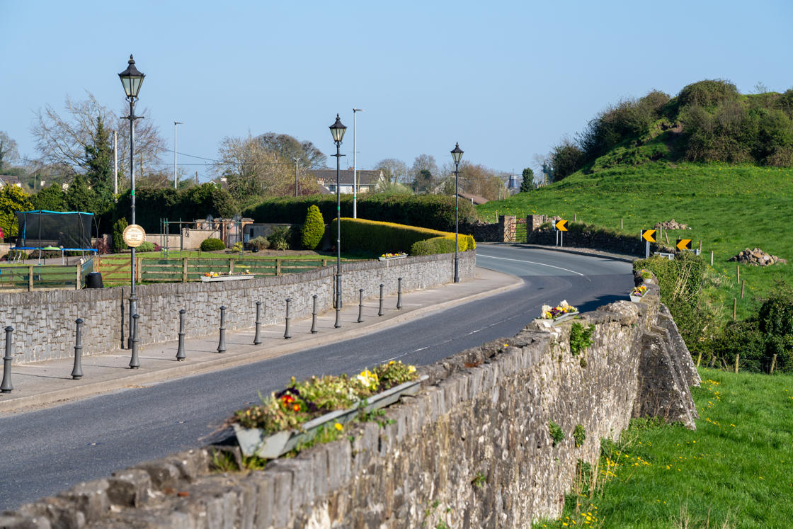
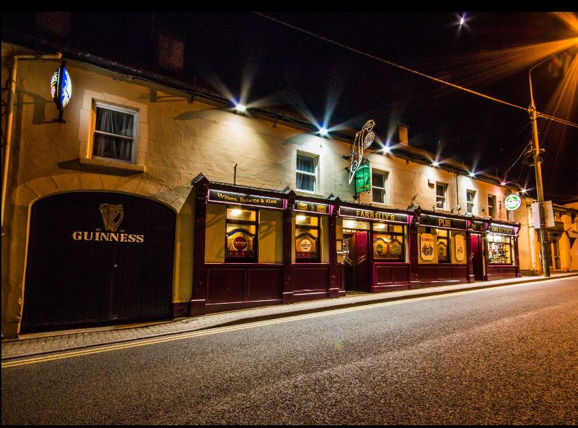
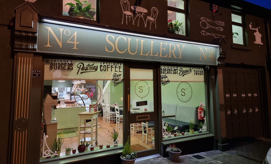
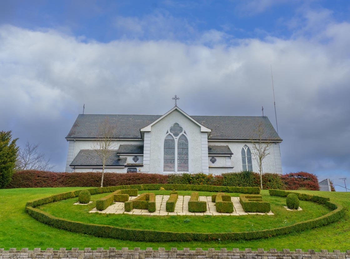
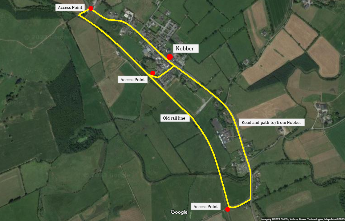
The town of Nobber and its surrounds is an ancient settlement that can trace its roots back to Mesolithic Ireland, c.6,000 BCE. The name Nobber come from the Irish word “an Obair” ('the work'), which refers to the Norman motte (above) at the north end of the village. You will find a number of cafes, shops and bars in the village making it an ideal stopping point as you traverse the Greenway. Located just off the Greenway, you will find the Greenways Café. Serving breakfast, lunch and tasty treats, with speciality coffee and artisan local food produce and open daily, it is the perfect stop for you on your day of the Greenway!
You can also enjoy a 1.5km looped walking trail, Slí na hOibre. Access points are beside the distinctive red Forge building on the northern side of Nobber and just off the L3402 (to the left approaching Nobber from the south, before the cemetery).
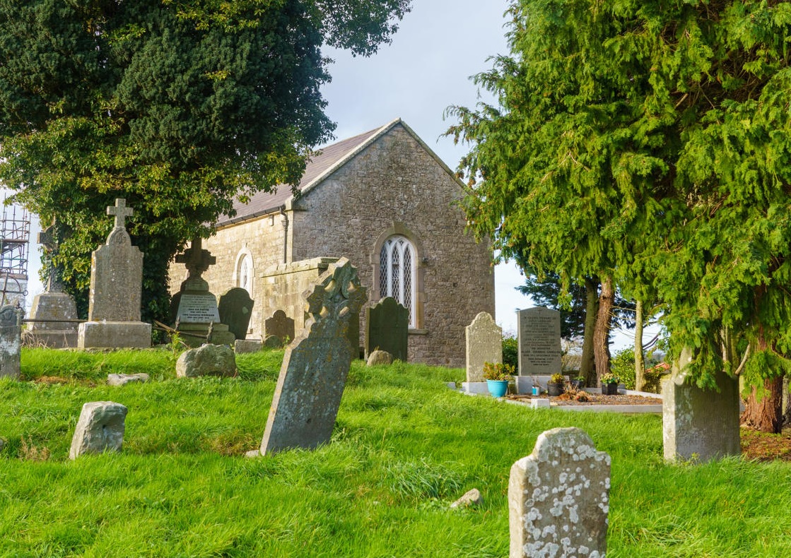
An important prehistoric settlement was built nearby on artificial islands called crannógs on Moynagh Lough. During the early Christian period Nobber became an important monastic settlement; nine High and Latin crosses from the site that can still be seen today in St. John’s Cemetery.
In the twelfth century the Anglo-Normans invaded Ireland and the area came under control of Gilbert de Nangle who built a motte and bailey fort at the north end of the village. The remains of the motte can still be seen. The tomb and memorial of two prominent Norman families from the area, Cruise and Balfe, can be seen on the grounds of the cemetery.
One of Nobber's most famous residents was the blind harpist, composer and Gaelic singer Turlough O'Carolan (1670-1738). In more recent times the renowned archaeologist George Eogan (1930-2021) came from Nobber. More information on Nobber. If you're in need of some refreshment, drop into the Greenways Cafe.
Kilmainhamwood
Kilmainhamwood is a picturesque village in north Meath. It takes its name from Kilmainham priory in Dublin, as the monastic Order of St. John (the Knights Hospitaller) who were based in Kilmainham also owned land in Meath at Kilmainhamwood. The original medieval church is now gone, but the site remains as a graveyard to the north-west of the village, and includes a medieval font and cross-slabs. A Church of Ireland church was built on the site in 1803 but it has also been removed. A bullaun stone (an early-Christian man-made hollow within a stone basin) may be seen in the wall of the modern Catholic church. The beautiful Whitewood Lake is located nearby.
Kingscourt
Kingscourt is a busy market town located in County Cavan, near the border with Meath. Its name originates in the Irish Dún an Rí, 'fort of the king'. It was the terminus for this branch line of the Midland and Great Western Railway; passenger service on the line ceased in 1947 but commercial use continued, as trains carried gypsum ore from Kingscourt until 2001.